![Angels Landing - Zion National Park [photo: NPS/Caitlin Ceci]](https://www.travel1000places.com/wp-content/uploads/2020/06/nps-zion-angels-landing-hiking-NPS-Photo-Caitlin-Ceci-1500x1125-1-1200x900.jpg)
![Angels Landing from Deer Trap Mountain - Zion National Park [photo: NPS/Marc Neidig]](https://www.travel1000places.com/wp-content/uploads/2020/06/nps-zion-angels-landing-from-deer-trap-mountain-NPS-Photo-Marc-Neidig-1500x978-1-1200x782.jpg)
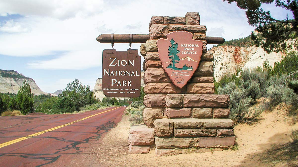
The Park in a nutshell
Located in Southwestern Utah , Zion National Park encompasses some of the most scenic canyon country in the United States. The park is characterized by high plateaus, a maze of narrow, deep, sandstone canyons and striking rock towers and mesas. Zion Canyon is the largest and most visited canyon in the park. The North Fork of the Virgin River has carved a spectacular gorge here, with canyon walls in most places rising 2000-3000 feet above the canyon floor. The southern part of the park is a lower desert area, with colorful mesas bordered by rocky canyons and washes. The northern sections of the park are higher plateaus covered by forests.
Data & History
Established as Mukuntuweap National Monument in 1909; name changed to Zion National Monument in 1918; expanded and established as a National Park in 1919; Kolob Canyons section established as a National Monument in 1937 and added to Zion National Park in 1956.
Size: 229 square miles = ca. 600 qkm.
Lowest point: 1,128 m (3,666 ft): Coalpits Wash in the southwest corner; highest point: 2,660 m (8,726 ft): Horse Ranch Mountain in the Kolob Canyons area.
Visiting
Location The entrances are located at the southwest and southeast boundaries of the park – reachable via SR 9 (Zion-Mount Carmel Highway) coming from I-15 or US 89. Nearest airport: St. George, UT, 46 miles (74.1 km).
Open year-round.
First-things-first After entering the park visit the visitor center and get information and maps. Rangers will assist you figuring out what the best trips will be for you depending on your time-frame and vehicle.
Entrance fees
Car: $35.oo
Motorcycle: $30.oo
Single Person / Bike: $20.oo
All valid for 7 days.
Tip: Save money with an All-National-Parks Annual Pass: America The Beautiful Annual Pass
Official Website
Web: https://www.nps.gov/zion/
Weather and Climate
Best time to travel
Spring and fall are ideal for Zion Canyon: the park is not as crowded as during Juli/Aug and from May on the temperatures reach 20 degree C (68 degree F).
Climate and Temperatures
Be prepared for a wide range of weather conditions. Temperatures vary with changes in elevation and seasons. Day/night temperatures may differ by over 30 degrees Fahrenheit.
Spring weather is very unpredictable. Stormy, wet days are common, but so is warm, sunny weather.
Precipitation peaks in March and September. Spring wildflowers bloom from April through June, peaking in May.
Summer days are hot around 35-41 degrees C (95-107 degrees F.), but overnight lows are usually comfortable around 18-20 degrees C (65-70 degrees F.) Afternoon thunderstorms are common from mid-July through mid-September.
Storms may produce waterfalls and flash floods.
Fall days are usually clear and mild; nights are often cool. Autumn color displays begin in September in the high country, and in Zion Canyon in early November.
Winters in Zion Canyon are fairly mild. Winter storms bring rain or light snow to Zion Canyon, but heavier snow to the higher elevations. Clear days may become quite warm, reaching 15-16 degree C (60 degrees F.); nights are often in the 20s and 30s. Winter storms can last several days and cause roads to be icy, especially on the east side of Zion. Zion roads are plowed, except the Kolob Terrace Road, which is closed in winter. Be prepared for winter driving conditions from November through March.
Camping
Zion National Park has three campgrounds. South and Watchman Campgrounds are in Zion Canyon. The Lava Point Campground is about a 1-hour drive from Zion Canyon on the Kolob Terrace Road. There are no campgrounds in Kolob Canyons. Camping is permitted in designated campsites, but not in pullouts or parking lots. Camping is popular; all campgrounds are often full by mid-morning. From mid-March through late November the campgrounds are full almost every night.
Details and Reservation Info on the official park website: https://www.nps.gov/zion/planyourvisit/campgrounds-in-zion.htm
![Edge of Deep Canyon - Zion National Park [photo: NPS/Christopher-Gezon]](https://www.travel1000places.com/wp-content/uploads/2020/06/nps-zion-edge-of-deep-canyon-NPS-Photo-Christopher-Gezon-1500x491-1-1200x393.jpg)
![Observation Point Trail - Zion National Park [photo: NPS]](https://www.travel1000places.com/wp-content/uploads/2020/06/nps-zion-observation-point-trail-NPS-Photo-1500x1100-1-1200x882.jpg)
![The Narrow- Zion National Park [photo: NPS/Marc Neidig]](https://www.travel1000places.com/wp-content/uploads/2020/06/nps-zion-the-narrows-NPS-Photo-Marc-Neidig-900x1200-1.jpg)
Must See’s
There are different loops you can drive with your car. From the south entrance starts a 13 mi long road, from the east entrance a 22 mi loop through the Zion Canyon. At the Kolob Visitor Center starts a 5 mi tour, which is one of the most interesting ones – ask the rangers.
Drives
Zion Canyon Scenic Drive
6 miles. Short drive along the canyon floor. Be prepared for hazardous driving conditions during and immediately following storms. Icy spots remain through the winter. Open to private vehicles during the period from November through March. Accessible the rest of the year via the Zion Canyon Shuttle only. Rt. 9, which traverses the park from east to west, is open year-round to private vehicles.
Zion-Mt. Carmel Highway
10 miles. Steep drive up switch–backs and through tunnels to Checkerboard Mesa. See large vehicle restrictions on page 8. Be prepared for hazardous driving conditions during and immediately following storms. Icy spots remain through the winter.
Kolob Terrace Road
14 miles. Steep drive to the high country. Not recommended for long vehicles. The road is plowed 14 miles north of Virgin, Utah. The rest of the road is closed by snow.
Kolob Canyons
5 miles. Scenic drive skirting the Kolob ”finger canyons.” The road is plowed in winter but may be temporarily closed during storms or snow plowing.
Short walks around 1 hour
Lower Emerald Pool
Easy walk to a waterfall. Shuttle stop: Zion Lodge or The Grotto
Weeping Rock
Self-guiding walk to a spring and ”hanging garden.” Shuttle stop: Weeping Rock
Canyon Overlook
Self-guiding walk to a canyon viewpoint. Very hot by late morning. Shuttle stop: Not on shuttle loop
Longer hikes
Angels Landing Trail: Strenuous 2.5 mi hike to a panoramic viewpoint. This trail is not recommended for anyone fearful of heights. Shuttle stop: The Grotto
Zion Narrows: Up to 60% of the hike is walking in the (shallow) Virgin River, that carved an approx. 600 m (2,000 ft) deep canyon into the stone. Sometimes as narrow as 5-10 m (15-30 ft). Check with the visitor center for current conditions. It’s a day trip and strenuous. Swimming may be required.
Riverside Walk: A popular short hike, approx. 1,6 km (1 mi) along the Virgin River. Starting point: Temple of Sinawava; great canyon views. Takes mostly 1-2 hours.
