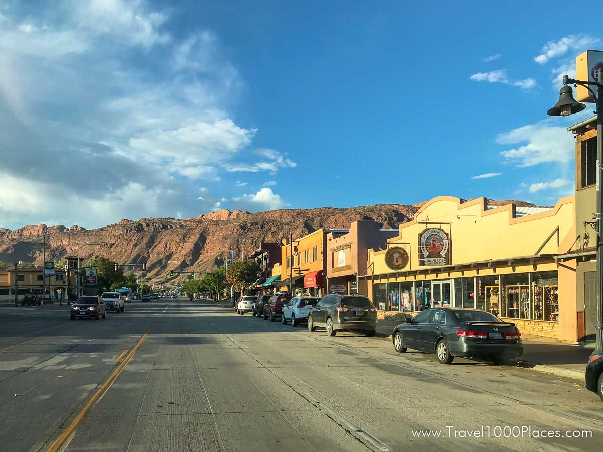
Sometimes referred to as the Mountain Bike ‘Mecca’, another time called ‘Sportstown #1’. The visitor Center (Moab Information Center) is located at the corner of Main and Center in Moab, and offers information on recreational opportunities and visitor services throughout southeast Utah. The Visitor Center is open daily, except Thanksgiving and Christmas.
In Moab you’ll find plenty of nice shops, bars and restaurants, some with outdoor seating.
Nearly every Motel chain can be found in Moab, some of them allow also pets. Moab is the ideal starting point for Arches National Park and Canyonlands. Both parks are very close and are an absolute “must see” for South Utah – …and both are very different! Check with the Visitors Center: there are many bicycle rentals and a variety of tour providers, e.g. for rafting, off-road and other activities.
Colorado River
There are several possibilities to get very close to the Colorado – you can even put your feet into the river.
#1
Leave Moab northbound on US 191. At junction US 128 (before! you reach the bridge over the Colorado River) you turn right (east) and the road runs over many stretches along the river. US 128 leads to the I-70 and is the most scenic route when this is your planned direction, or vice versa, if you are travelling on I-70 coming from East (Grand Junction) do not wait until US191 but instead use US128 before.
#2
Another may be even better way to reach the Colorado River is driving on US278: again, if you leave Moab northbound (you are on US191), drive may be 1.25 mi until you reach US 279. Turn left and follow the road. After a while, it runs along the northern shore of the Colorado River.
#3
Offroad roads to the Colorado River, e.g. Chicken Corners Trail
Highway 279 along the Colorado River
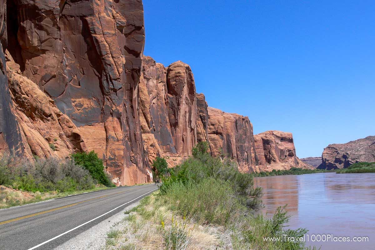
This highway is the Utah Highway 279, also known as the Potash Lower Colorado Scenic Byway.
Drive on Main Street (in Moab) north. Shortly after leaving the city you cross a bridge over the Colorado River. Stay on the road for approx. 1.3 mi and turn then left (west) on the „279“ (you may or may not see a sign „Potash“).
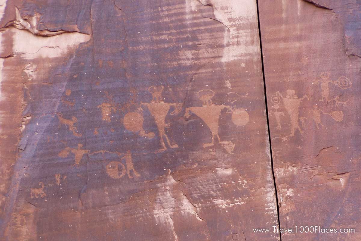
After a short drive you will have high rock walls to your right hand side and that is where petroglyphs can be seen. Other parked cars will lead you to those spots. Shortly thereafter you will have the Colorado River to your left hand side. Check out parking or use the camping area to get closer.
If you are heading on Highway 279 westbound you will reach Dead Horse Point Rd (after approx. 13-15 mi on 279), which leads to Dead Horse Point State Park. That overlook high above the Colorado River is a ‘must-see’!
What’s in the area
- Arches National Park
- Canyonlands National Park
- Capitol Reef National Park
- Colorado River
- Dead Horse Point State Park
- Slickrock Bike Trail/Sand Flats Recreation Area
- Off-Road Trails
- Scenic Byways: Potash Road 279 along the Colorado River, see information above.
- La Sal Mountains & the Loop Road
- Monument Valley
Camping in the Moab area
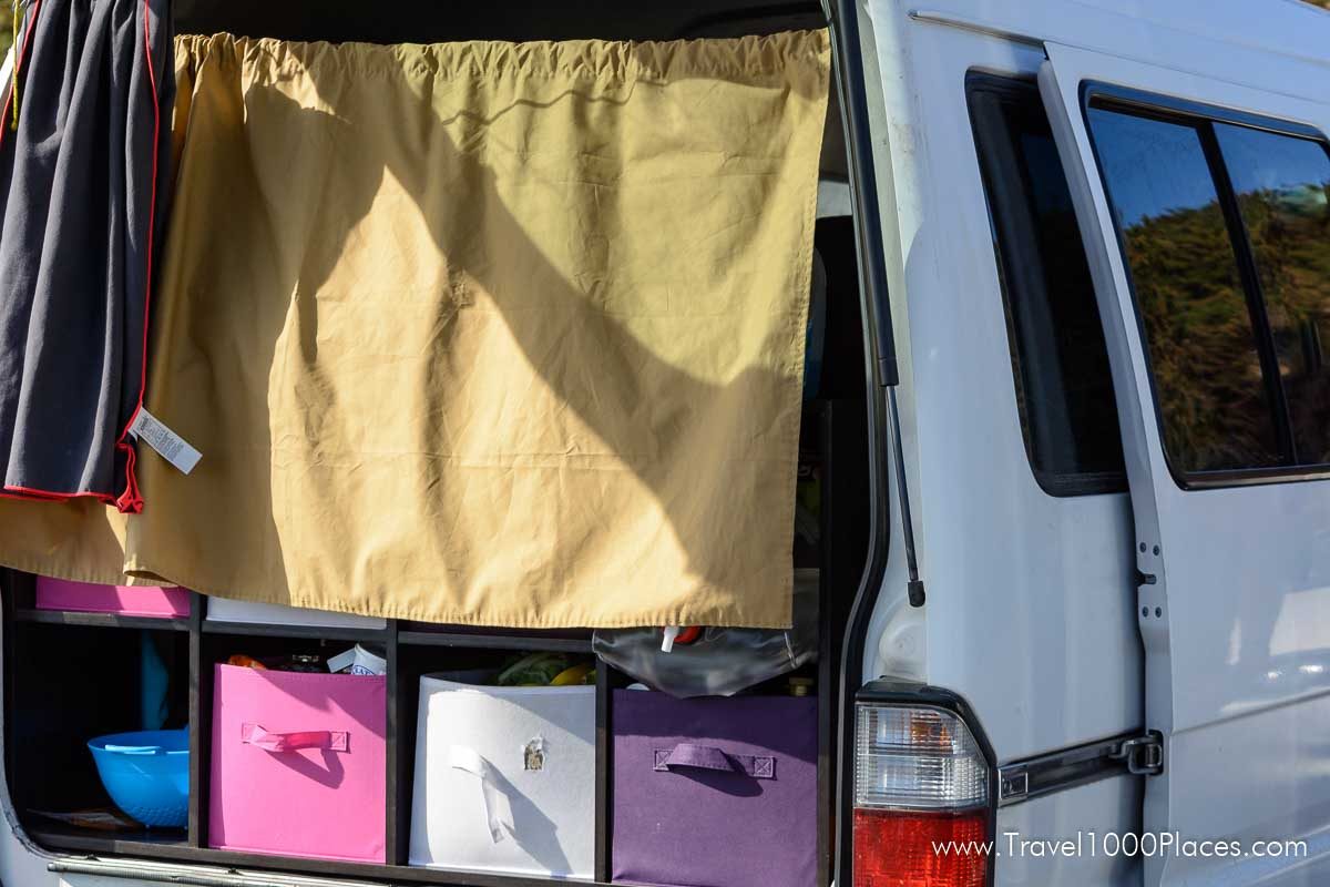
Moab area is one of the top camping destination in the Southwest. With Arches National Park, Canyonlands National Park right in the front yard and Bryce Canyon National Park and Zion close-by it is no wonder that domestic and international visitors seek to come to the area.
National Park Camping can be reserved through https://www.recreation.gov/ but spots are sold out months earlier for the summer season.
Another option are camping sites on other public land, like BLM or U.S. Forest Service. There are plenty of camp sites in the Moab area — find a comprehensive list here: https://www.discovermoab.com/campgrounds/ which also includes information on commercial campgrounds in the area.
